
 Share This Page
| Home | | Sailing | | Alaska 2015 | |  |  |  Share This Page Share This Page |

Copyright © 2015, P. Lutus. All rights reserved. Message Page
| Prior years: |
Alaska 2002 |
Alaska 2003 |
Alaska 2004 |
Alaska 2005 |
Alaska 2006 Alaska 2007 | Alaska 2008 | Alaska 2009 | Alaska 2010 | Alaska 2011 Alaska 2012 | Alaska 2013 | Alaska 2014 |
(double-click any word to see its definition)
Because photospheres are a new topic, and because I created my photospheres with a quadcopter, another new topic, I think some explanation is in order.
Kinds of pictures
At the moment, photographs have four varieties:
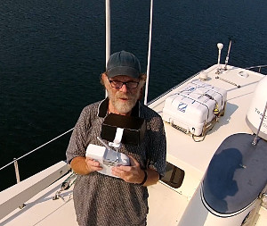
Photos of the First Kind: flat, rectangular pictures, with a long history extending back to before the U.S. Civil War:
Photos of the Second Kind: called "panoramas", they're horizontal strips of imagery, usually extending around a full horizontal circle (they're more difficult to create than a normal picture):

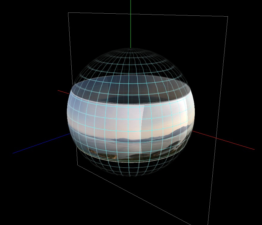
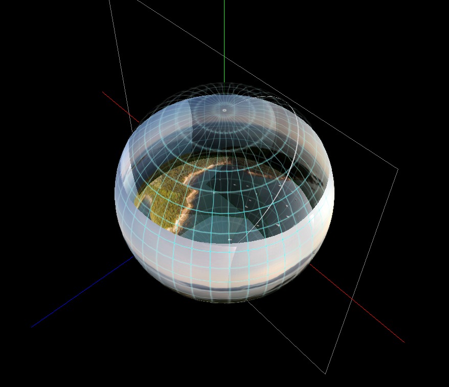
Photos of the Third Kind: called "photospheres," these images constitute a complete sphere of imagery — from a photosphere's preferred viewpoint at its center, you can look up, down and in a full circle (they're the most difficult to create):

Strictly speaking, because my drone's camera can't look above the horizon, the quadcopter photospheres I create might be more accurately called "photo-hemispheres," but despite the fact that I've decided not to use that term, a true photosphere has no gaps, top to bottom, left to right, full circle — a geometer would describe it as having a solid angle of 4$\pi$ sr (steradian).
Photos of the Fourth Kind: "aerial photospheres," photospheres taken from a quadcopter, at a location in space of the photographer's choosing. For landscape and terrain photography, this 3D positioning ability greatly increases the beauty and value of the images, for reasons given below.
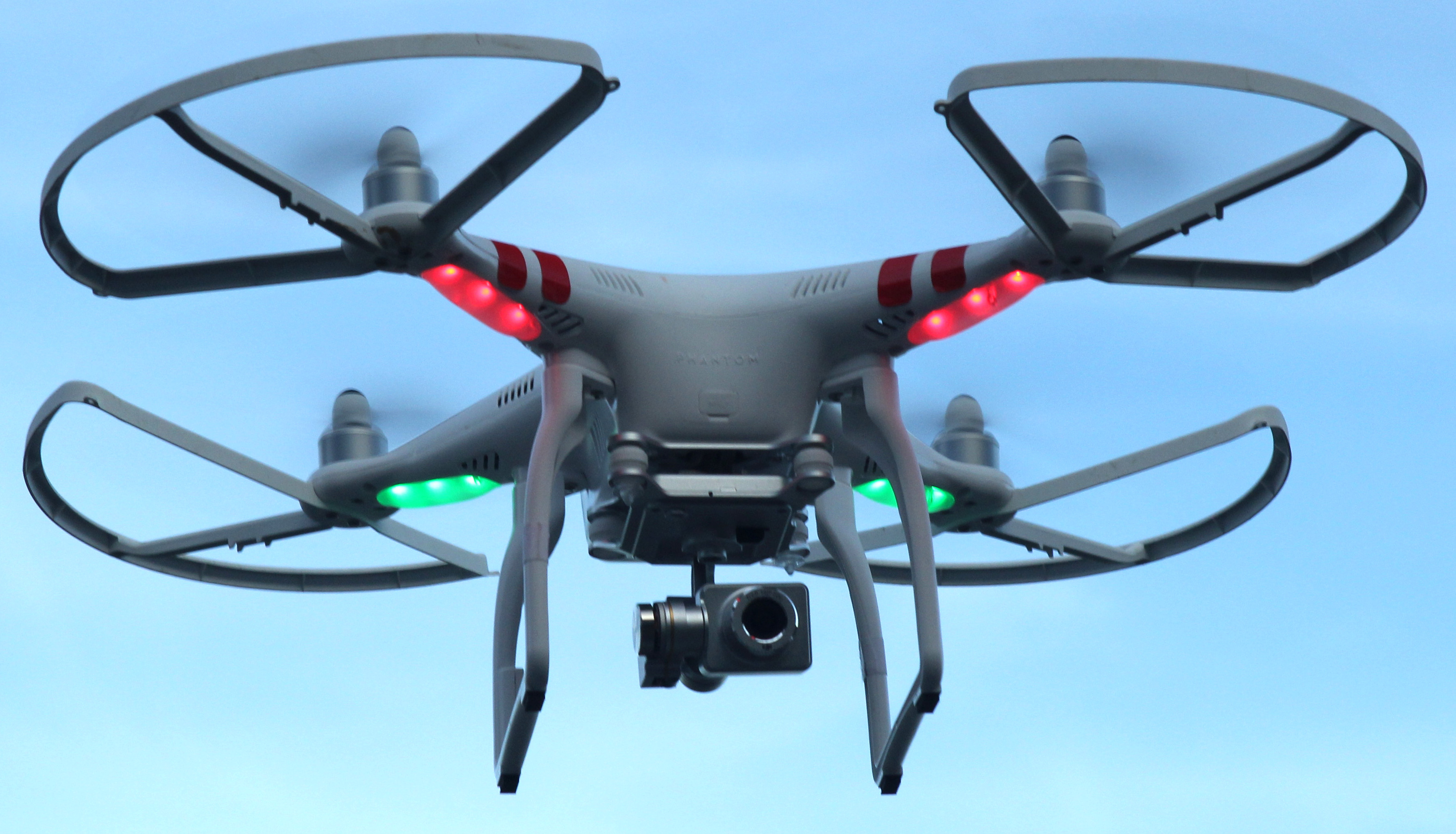
Here's a picture of my quadcopter in flight (notice the camera, bottom center):

The Method
Here's my procedure for creating a quadcopter-based photosphere (using a process more fully described here):
The Results
If all the above steps are performed carefully, the results can be very impressive — for the first time I have images of Alaska landscapes that do them justice, images that are more like "being there" than a normal photograph allows.
Readers should realize the dramatic images shown in this article set result from both the photosphere method, plus the big advantage of using a quadcopter to position the camera at a suitable altitude.
Other Advantages
Apart from the dramatic images, aerial photospheres provide a lot of useful information I've never had before. In a number of cases I arrived at a location I had visited in years past, then created a photosphere as a first step. Then by examining the photosphere I became aware of trail routes I hadn't been able to see from the ground, or saw boat navigation routes and obstacles not visible from the boat itself. In this article set I include examples of both kinds — examples where the photospheres educated me about the environment in ways not previously possible.
Important: This article set includes a selection of my favorite Alaska aerial photospheres. For a much larger collection of photospheres from Alaska, Canada and Washington State, be sure to visit my Photosphere Gallery page.
| Home | | Sailing | | Alaska 2015 | |  |  |  Share This Page Share This Page |